A challenging loop through one of Banff's most dramatic alpine passes, with jaw-dropping views of Mount Louis and the Sawback Range. Thirteen kilometres, 915 metres of climbing, and a pass that is worth all of it.
The route
The Cory Pass Loop earns every metre of elevation. Starting from the Fireside Day Use area on the Bow Valley Parkway, the trail climbs through montane forest before breaking into one of the most dramatic alpine passes in the front ranges.
Go counter-clockwise. It gets the steep climbing out of the way while your legs are fresh, and it puts the loose scree on the descent rather than the ascent.
Getting there
From the Trans-Canada, take the Bow Valley Parkway (1A) west. The Fireside Day Use Area is about 6 km from the eastern junction.
Get there before 7:30am on weekends or you will be parking on the road shoulder. Parking is $11.70 a day.
The pass
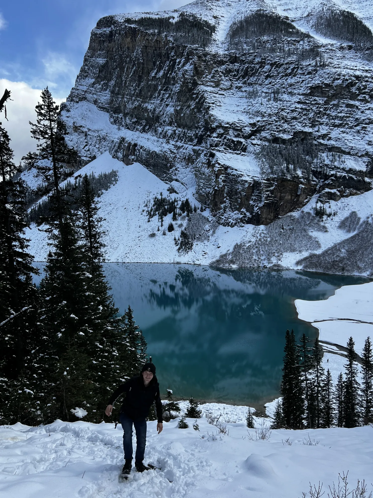
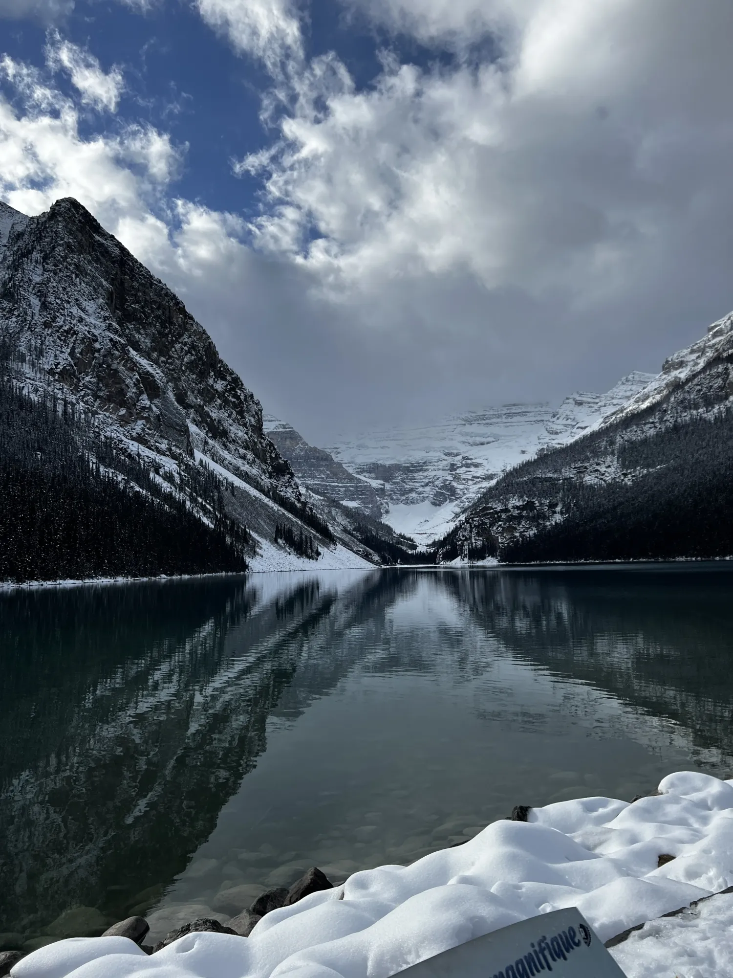
At 5.5 km you crest Cory Pass at 2,350 m. Mount Louis towers directly ahead like a stone cathedral. The Sawback Range stretches east. On a clear day you can see all the way to the Sundance Range.
The trail is well maintained to treeline. Past that it is loose scree on the descent, so poles earn their place here.
What I would do differently
Start at 6:30am, not 8. The pass was already crowded when I descended, and the wind picks up significantly by early afternoon.
This is bear and cougar country, and the forest section is dense enough that you will not see much ahead of you. Make noise, carry spray, and know how to use it.
The trail at a glance
The numbers, the parking, and the three places worth stopping for a photo.
Difficulty and distance
Difficult · 13.2 km · 5–7 hours
915 m of elevation gain over a 13.2 km loop. Best hiked June through September. Not dog friendly – the scree section is hard on paws.
Parking
Fireside Day Use Area · $11.70/day
Fills by 7:30am on weekends. About 6 km along the Bow Valley Parkway from the eastern junction.
Trail conditions
Last hiked 20 July 2026
Well maintained to treeline; loose scree on the pass descent. Wildlife warnings in effect for bear and cougar.
2.1 km – first valley view
Photography stop
The first real opening in the trees, looking back down the valley you have just climbed out of.
5.5 km – the pass, Mount Louis
Photography stop
The reason you came. Mount Louis straight ahead, the Sawback Range running east.
8.2 km – Edith Pass meadows
Photography stop
Softer country on the way down, and a good place to stop and let your knees forgive you.
More trails, more early starts, and the photos that did not make the post – they go up on Instagram first.
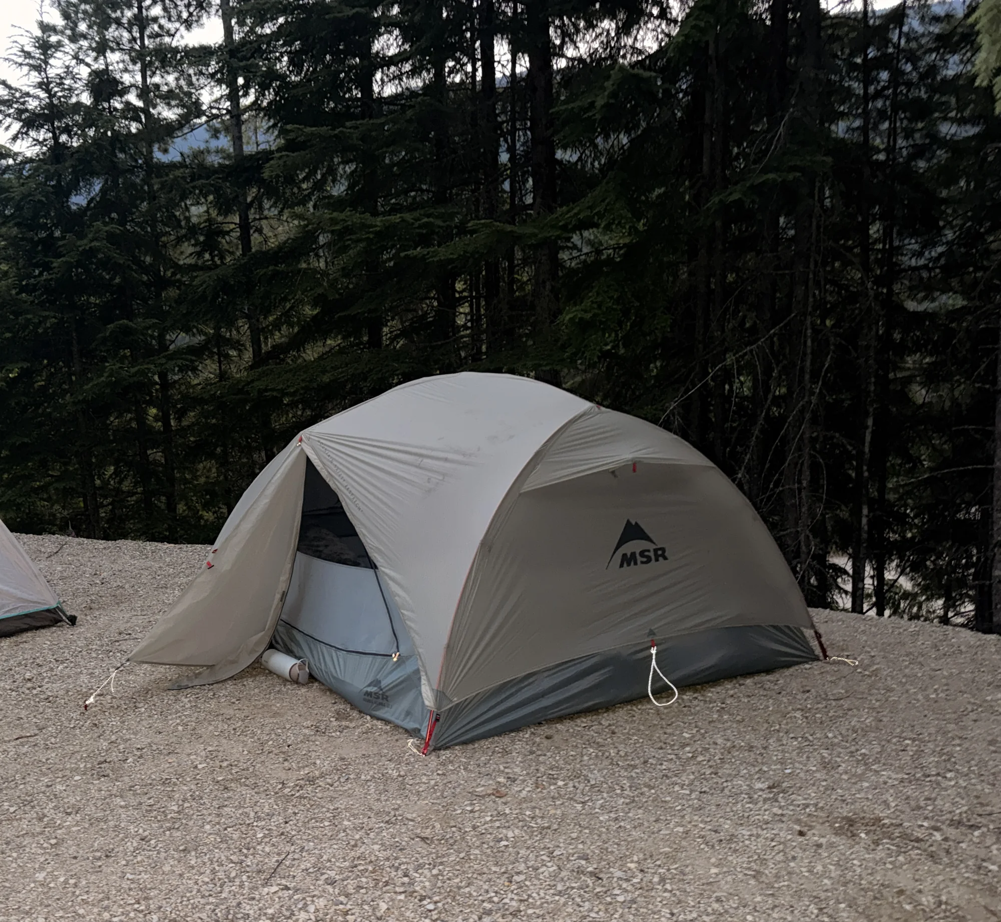
Genuinely roomy for three, with storage details that earn their keep. Then the rain fly tore off at the poles on night thirteen. Four out of five, and buy the footprint.